
13. may 2025, @ 09:39:43
ESTHub's new suit: tailored for a better experience
This year, the Land and Spatial Development Board is undergoing both major and minor changes and developments: various environments and services ar...
12. may 2025, @ 17:00:00
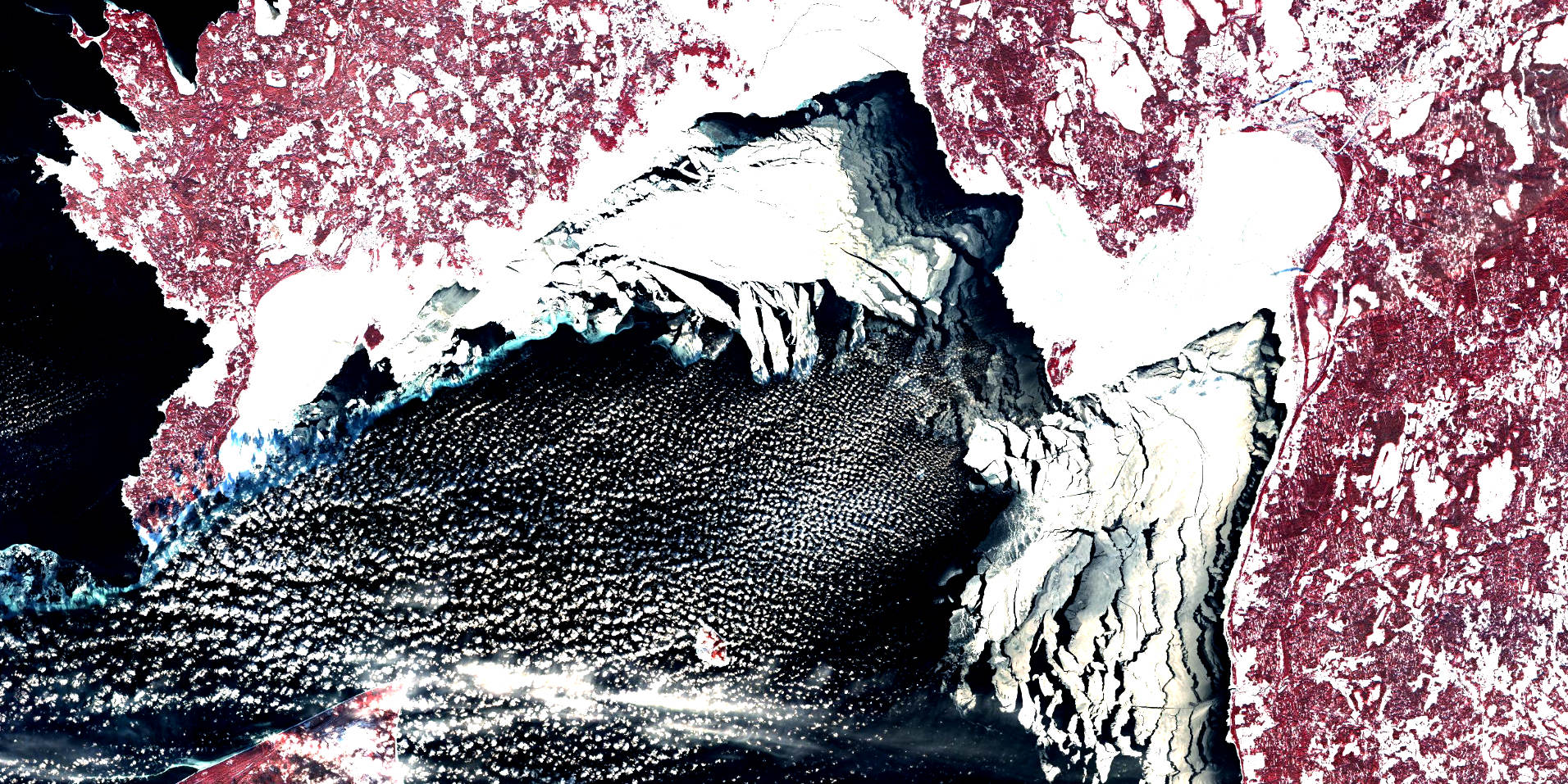
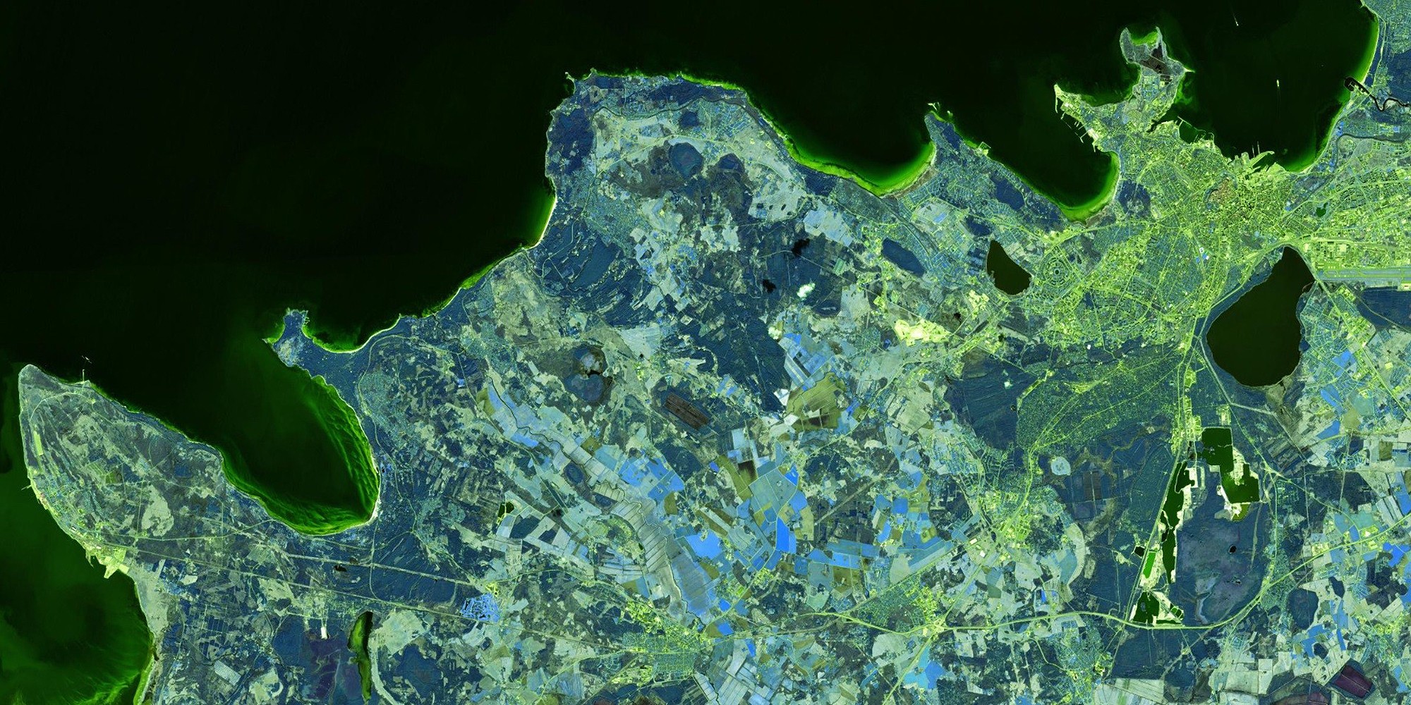
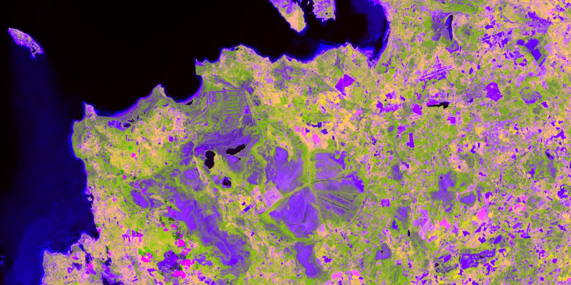
Landsat 8 images in Satiladu
Landsat 8 satellite images have been added to Satiladu. Images are available from 2013-03-26.
Landsat 8 is an Earth observation satellite opera...

24. march 2025, @ 08:00:00
ESTHub vision day 2025
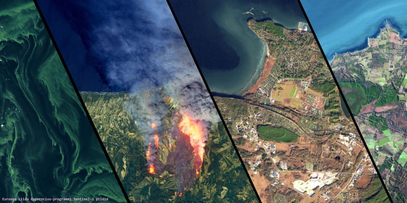
The role of satellite data is already crucial in many fields. At the same time, users face a significant challenge: there are more platforms, servi...

29. january 2025, @ 10:50:33
ESTHub at the Winter Satellite Workshop
The Winter Satellite Workshop took place from January 21 to 23 at Dipoli in Otaniemi, bringing together participants from across the Nordic and Bal...
4. june 2024, @ 10:00:00
ESTHub vision day 2024
The ESTHub Vision Day of the Estonian Land Board's Satellite Data Center will take place on June 4th, from 10:00 AM to 3:30 PM, at the Estonian Lan...