ESTHub Data


Satellite data is stored for Estonia's area of interest, and users who are registered and logged into the satellite data portal can also retrieve data outside of the area of interest.
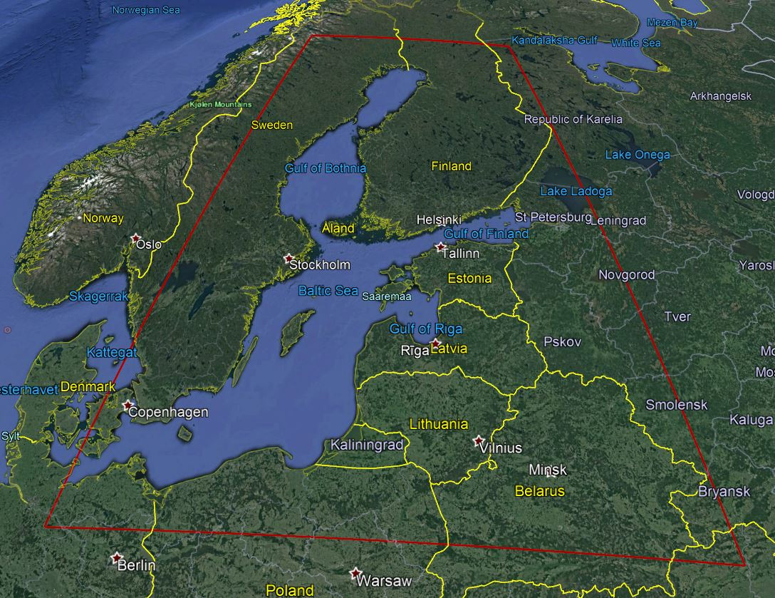
ESTHub gathers satellite data for the Estonian area of interest. For Sentinel 1 and 2, but also for Landsat 8, ESTHub offers data about 200 km beyond state borders (Figure 1), for Sentinel 3 the area of interest covers the Baltic Sea and its surrounding area (Figure 2).

It is important to reference properly when using Copernicus data. Referencing rules for using the Landsat data are specified on the page of the US Geological Survey. If you register (or you have been registered) for ESTHub's services, you will agree to the Land and Spatial Development Board's rules for processing personal data.